How to Use the Bayou Fishing Conditions
Here’s what matters today if you’re heading out. The dashboard above turns live National Weather Service data into a practical angler snapshot for Lloyds Bayou.
Conditions are calculated using current and short-term forecast information including temperature, wind, rain risk, and sky conditions. It is designed for everyday fishermen who want a quick read before launching, shore fishing, or deciding whether to come back later.
Quick read:
Excellent
Worth getting out
Good
Solid conditions
Fair
Fishable, adjust tactics
Caution
Wind, rain, or storms
Local fishing note: Light wind, overcast skies, and stable conditions usually make Lloyds Bayou more comfortable to fish. Bright sun often favors shade, docks, weed edges, and deeper breaks. After rain, watch runoff areas and changing water clarity.
⚠️ Bayou Water Advisory — 2026 Season
Lloyds Bayou is scheduled for periodic weed and algae control treatments during the summer season beginning approximately mid-May. Posted shoreline notices should be checked before swimming, watering, irrigation, or other water use.
For anglers
Fishing is generally still possible, but avoid recently treated areas and follow posted restrictions.
Watch posted signs
Treatment notices identify products used and the specific water-use restrictions that apply.
Restrictions vary
Some restrictions may be short-term; irrigation or livestock watering limits can last longer depending on the product.
Practical takeaway: Check the shoreline notice before launching or using bayou water, especially after treatment days.
View Full 2026 Treatment Notice
A Natural Treasure
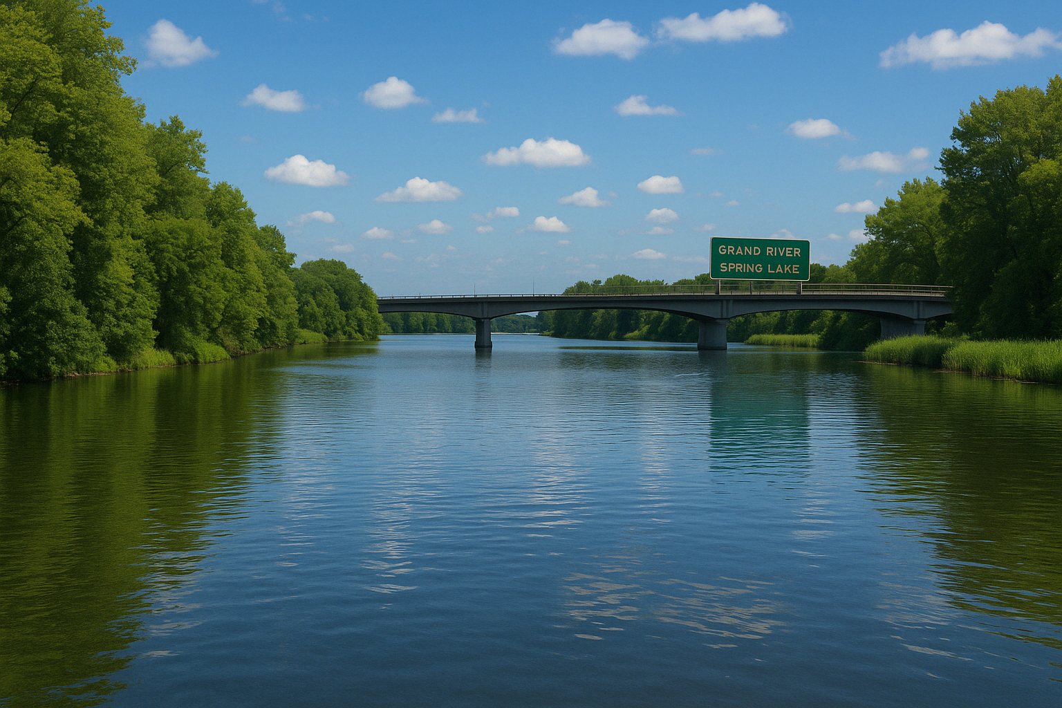
Lloyds Bayou is a pristine waterway nestled in Spring Lake Township, Michigan. Known historically as the "little bayou," it connects to the Grand River just east of Lake Michigan. This calm and scenic body of water is surrounded by forested shores and abundant wildlife, making it a haven for nature lovers, birdwatchers, paddlers, and anglers.
Whether you're exploring by kayak, casting a line, or enjoying the stillness of a misty morning, Lloyds Bayou offers a serene escape. The water's edge teems with aquatic life and migratory birds, while underwater vegetation supports a healthy fish habitat, including bass, bluegill, and northern pike.
The bayou also plays an important ecological role, filtering runoff and providing floodplain benefits. Local environmental efforts are ongoing to preserve the water quality and manage invasive plant species.
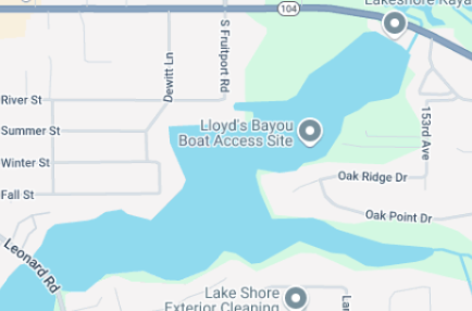
Lloyds Bayou Boat Launch
The Lloyds Bayou Boat Launch provides convenient public access to the bayou for boaters, anglers, and paddlers. Located at McLean St, Spring Lake MI 49456, this launch is ideal for small watercraft, fishing boats, and kayaks. It connects easily to the Grand River system, offering a scenic entry point into the heart of West Michigan's waterways.
Amenities
- Boat ramp access
- Parking area
- Scenic wooded surroundings with bayou views
- Access for non-motorized watercraft
- Michigan DNR boat access site
For more details, visit the Michigan DNR Boat Access Site listing.